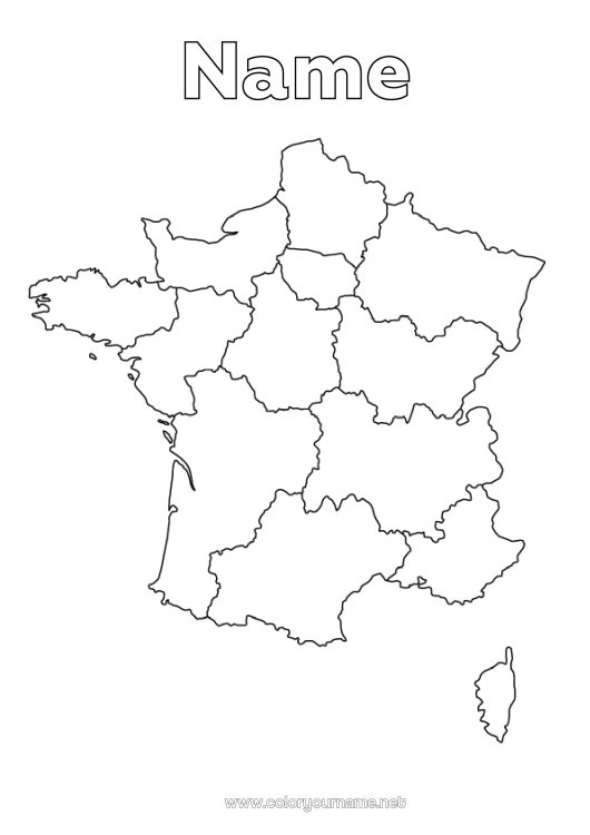
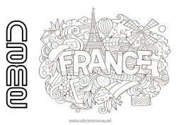
Coloring map of the 13 regions of France to color.
This free coloring page features a map of metropolitan France with its 13 clearly defined regions: Auvergne-Rhône-Alpes, Bourgogne-Franche-Comté, Brittany, Centre-Val de Loire, Corsica, Grand Est, Hauts-de-France, Île-de-France, Normandy, Nouvelle-Aquitaine, Occitanie, Pays de la Loire, and Provence-Alpes-Côte d’Azur.
Children can have fun coloring each region while learning about French geography. The child's name can be personalized at the top of the page, making it a creative, educational, and unique activity.
Available for free download on the website for a quiet activity at home or in the classroom.

1 - I customize my coloring page/document

2 - I print for free my coloring page/document
Click on the "PRINT (PDF Format)" or "PRINT (PNG Image Format)" button to download your document. You will be redirected to a short ad video before you can access your file. (Make sure your ad blocker is disabled.)
24 others coloring pages of country map
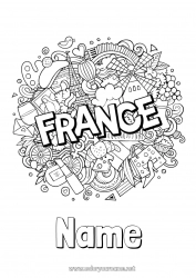
33 others coloring pages of france


91 others coloring pages of country

109 others coloring pages of geography